AIRBORNE DRONES FEATURE: “HOW APPS, DRONES AND SENSORS MIGHT SAVE LIONS, TIGERS AND BEARS”
Drones and Sensors hold big potential to pull endangered species back from the brink.
Anyone who has been annoyed by the slightest technology glitches in the workplace should consider what Anthony Pagano is up against in his day job. He is tasked with tracking 700-pound polar bears with high-tech collars and custom apps in the middle of the Arctic Ocean as part of a greater effort to save the animals from the perils of climate change.
In a place where winter temperatures hover around -40 F, where connectivity is almost impossible to get and where his brawny team of workers is rough on the equipment, the gadgets he needs give “rugged” a whole new meaning. “Most of the [hardware] manufacturers I’ve dealt with can’t even fathom the challenges involved,” says Pagano, a wildlife biologist with the U.S. Geological Survey.
But Pagano isn’t complaining. For all the massive hurdles he faces, the opportunities that consumer-driven technology has opened up to him and his peers in the animal conservation world have been remarkable. Software and hardware breakthroughs are enabling wildlife biologists to track and study threatened species using drones and sensors in ways that were once considered pie in the sky.
Here are a few examples:
- Heavy-duty fitness trackers for endangered species. Pagano is in the early stages of a study of polar bears that relies on 1-kilogram collars outfitted with accelerometers to store data on each of the mammal’s movements 16 times a second. The ultimate goal is to quantify how much energy polar bears are expending to survive as melting ice packs complicate their hunt for seals and other prey. The hope that sensors will soon allow conservationists to monitor the energy levels of polar bears and other animals for signs of illness or other distress has big potential. “Energy to animals is like money to humans,” explains Rory Wilson, a zoology professor at Swansea University in Wales. “It determines who is top dog.” Wilson foresees that insights into how animal biology and behavior changes as their own health declines will enable scientists to predict the spread of avian flu and other contagious diseases that threaten humans.
- Animal tracking from space. A remote sensor will be attached to the International Space Station as early as next year to photograph movements of elephants, birds, boars and other animals with GPS devices with unprecedented specificity; researchers say the goal one day is to monitor flight patterns of monarch butterflies and other insects.
- 3-D imaging of animal habitats. Wildlife tracking has long existed in a two-dimensional world. That’s changing fast as scientists look to advanced remote sensing technologies that rely on lasers or sonar to generate 3-D images of dense forests and vast oceans in the hopes of tracking species and identifying new ones. Three-dimensional imaging technology is also being used to study how low California condors fly in their habitats (to understand the needs of that threatened species in relation to those of wind-energy developers) and how deep Australian sea cows swim when hungry or asleep (to better inform restrictions on commercial fishing nets).
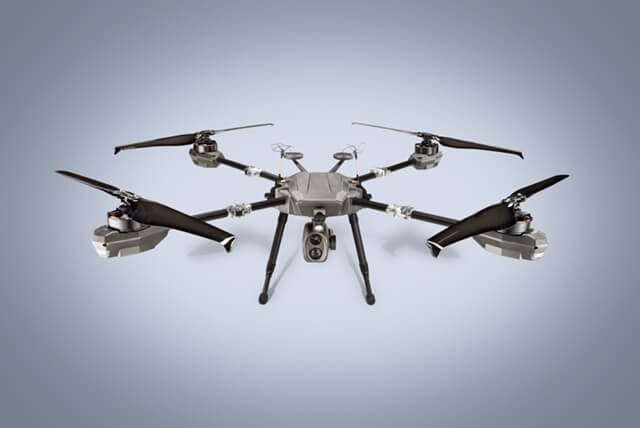
- Drone patrols for poachers. Throughout Africa, rangers are deploying a combination of drones, ground patrols and advanced analytics to combat animal trafficking, an illicit market with estimated sales of $10 billion a year.
Drones and Sensors adoption challenges
While the volume of new data on the well-being of wildlife is opening up new possibilities for biologists, many observers caution that the digital age is just dawning. The problem of providing adequate devices to capture that data isn’t just that the conditions are “either really wet or really hot and dry,” as Colby Loucks, a conservation biologist at the World Wildlife Fund, puts it. Existing satellite technology, for example, doesn’t have the capacity to collect the data generated every 16 seconds by Pagano’s polar bear collars; he’ll have to retrieve the collars himself at a later date.
Similarly, a laser technology known as LIDAR (light detection and ranging), which many biologists see as their best hope to penetrate clouds and dense forests, requires huge computing capacity. And what about the universal trap of insufficient battery life? Don’t get a conservationist started.
Just as tricky a problem is how to sort through the data deluge. “Ecologists have been swamped with so much high-quality data that they can’t, literally, see the forest for the trees,” says James Sheppard, a spatial ecologist with the San Diego Zoo Global.
Sheppard tapped the immense computing muscle of the San Diego Supercomputer Center to tweak the algorithms that now make it possible for scientists to study and build models of animal habitats in 3-D from their desktops. “It’s taken a while,” says Sheppard, who also worked with math whizzes at the U.S. Geological Survey, “for the computing power to catch up with the sheer quality and quantity of data.”
“Ecologists have been swamped with so much high-quality data that they can’t, literally, see the forest for the trees.”
— James Sheppard, spatial ecologist, San Diego Zoo Global
Predicting the impact of climate change
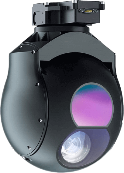
For Thomas Snitch, “a while” took seven years. That’s how long the professor at the University of Maryland Institute for Advanced Computer Studies spent building the mathematical model he thinks will combat the rapidly growing problem of animal poaching. His approach relies on a mix of satellite imagery, predictive analytics, ranger patrols and drones and sensors, equipped with infrared cameras, to catch thieves in Africa who kill elephants for their ivory tusks and rhinoceroses for their horns.
“The mathematics will tell you where there is a 90 percent chance of a poaching incident between 6:30 and 8:00 at night,”
says Snitch, who licenses his software for free to wildlife conservation groups.
His model relies on more than just a few data points. Snitch and his team compiled topographical data from satellite imagery to determine where elephants and rhinos are unlikely to roam. “Now, instead of an area the size of New Jersey, we’re looking at an area the size of Atlantic City and 30 miles around it,” says Snitch. Next he layered on years of historical data captured from tagged elephants and rhinos to learn about their movements over time. Then he gathered facts from poaching reports that included the location and the time of the attack. He studied the weather conditions on those days: How fast was the wind blowing? Did it rain? What was the phase of the moon? He calculated distances from a slain animal to the nearest villages.
By looking at the data “you suddenly start to see very distinctive patterns of how these activities occur,” says Snitch. Most poaching incidents, for example, occur within five days of a full moon. Killings after 11 p.m.? He’s never heard of any.
Likewise, Pagano is optimistic that the knowledge gleaned from GPS collars will one day help him forecast with precision how melting ice caps are impacting the roughly 20,000 to 25,000 polar bears that experts believe remain in the Arctic. For now, though, Pagano’s challenge is more fundamental: to figure out if bears traveling longer distances are moving on their own—and if so, whether they’re swimming or walking—or simply hitching a ride on a slab of sea ice.
“Sea ice moves around a lot, so we can have a GPS location in one point and then a GPS location at another point but no way of knowing if the bear moved at all on its own,”
says Pagano, who notes that satellites can’t detect polar bears against a white backdrop.
